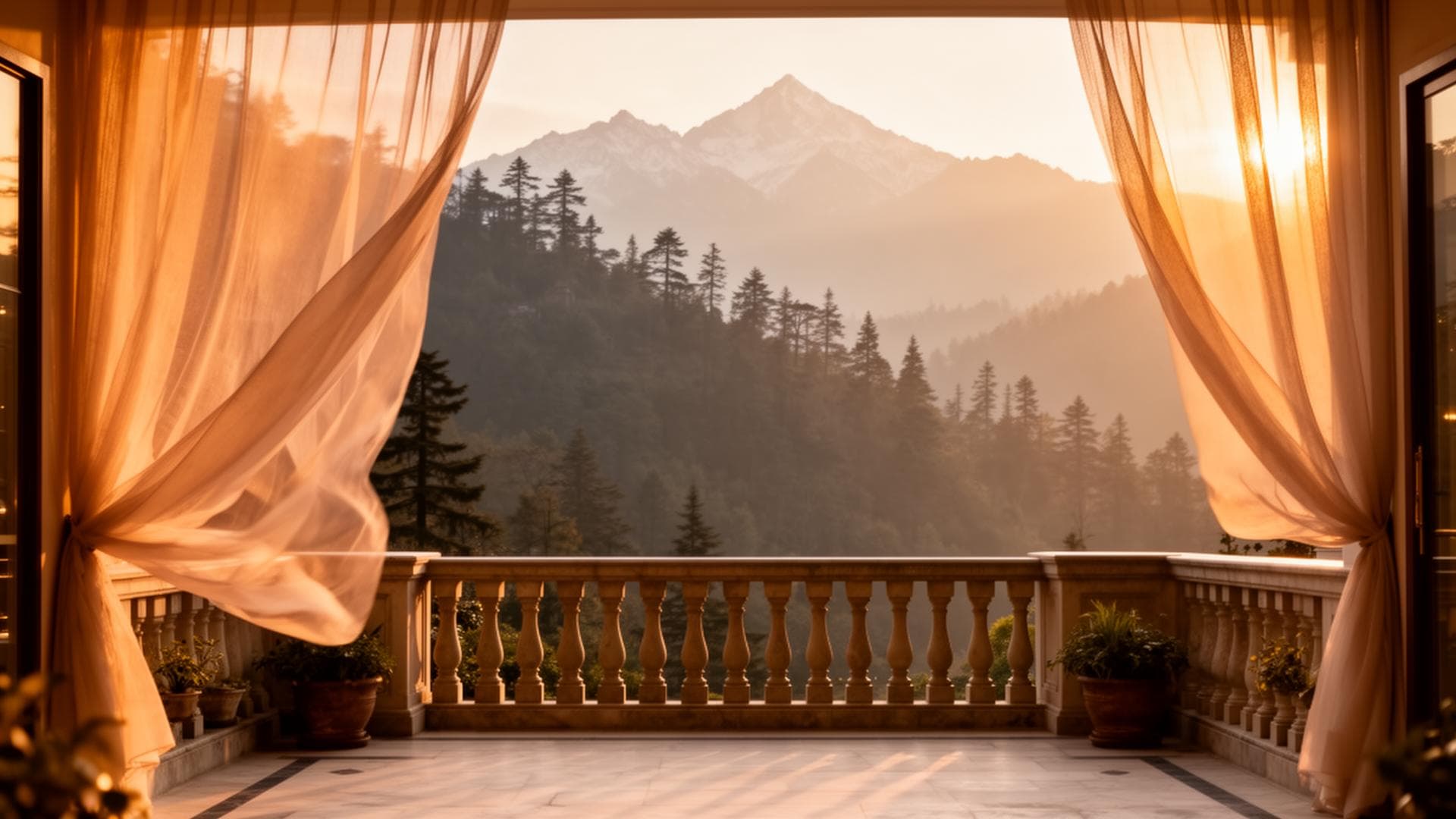
Where are the Murree Hills and what makes them Pakistan's primary hill station?
The Murree Hills are a sub-Himalayan ridge system in the northeastern Punjab province of Pakistan — the specific terrain that produces Pakistan's most-visited domestic tourism destination. Elevation: 5,000-9,230 feet. Length: approximately 60km from Bhurban (southwest) to Mushkpuri Top (northeast). Distance from Islamabad: 47-88km depending on destination. Population: Murree town (largest) plus Bhurban, Ghora Gali, Changla Gali, Ayubia, and Nathia Gali. The Murree Hills receive millions of domestic visitors annually — making it Pakistan's most visited mountain area, and the specific terrain that supports Pakistan's only 5-star mountain hotel (PC Hotel Bhurban) and private cedar villa estate (Himalaya Villas).
Murree Hills Pakistan — The Complete Geographic and Tourism Guide
Understanding the Murree Hills geography provides the context for every accommodation, activity, and planning decision in the area. The ridge's specific elevation (6,500-9,230 feet), its sub-Himalayan forest ecology (deodar cedar dominant), and its proximity to Islamabad and Rawalpindi (47-55km) are the three geographic facts that explain why this specific ridge is Pakistan's premier domestic mountain destination.
Physical Geography
The Ridge System
The Murree Hills form the northeastern extension of the Salt Range — the sub-Himalayan foothills that parallel the main Himalayan massif approximately 200km to the south. The Murree ridge is oriented northeast-southwest at an average elevation of 6,500-8,000 feet, with Mushkpuri Top at 9,230 feet as the highest accessible point. The ridge receives the full force of the southwest monsoon (July-August), the western disturbances that produce winter snowfall (December-February), and the post-monsoon clarity that makes October the finest month.
The Forest
The Murree Hills sub-Himalayan forest is dominated by three species: deodar cedar (Cedrus deodara — Pakistan's national tree), blue pine (Pinus wallichiana), and Himalayan oak (Quercus semecarpifolia). The cedar dominates the 5,500-8,000 feet band; the oak and rhododendron increase in the higher Galiyat sections. The specific forest ecology of the Bhurban cedar estate — 100-200 year old trees, maintained estate character — represents the premium end of the cedar forest that once covered the entire Murree ridge system before residential and commercial development.
The Elevation Zones
The Murree Hills elevation progression explains the temperature differences across the area:
5,000-6,500 feet: the lower approach roads and southern slopes — transitional forest, warmer temperatures
6,500-7,500 feet: Bhurban (6,800 ft) and Murree town (7,500 ft) — the primary tourism zone, deodar cedar dominant
7,500-8,000 feet: the Galiyat chain (Ghora Gali to Nathia Gali) — higher, cooler, oak-cedar-pine mixed forest
8,000-9,230 feet: the upper Galiyat including Mushkpuri Top — sub-alpine transition, seasonal snow
Why the Murree Hills are Pakistan's Premier Hill Station
The Proximity Factor
47km from Islamabad, 60km from Rawalpindi — the Murree Hills are the closest significant mountain environment to Pakistan's capital and its twin city. No comparable mountain ecosystem exists within this radius of any other major Pakistani city. The proximity enables the Thursday evening departure from Islamabad and the Sunday return — the specific domestic tourism format that makes Bhurban the most-booked premium mountain destination in the country.
The Elevation Factor
At 6,800-8,000 feet, the Murree Hills provide a consistent 18-22°C temperature reduction from the Islamabad/Rawalpindi summer. The 40°C Islamabad July afternoon vs the 20-24°C Bhurban afternoon: this temperature differential is the fundamental driver of the annual domestic tourism migration to the hills in July-August.
The Accessibility Factor
The N-75 Murree Expressway — dual carriageway, NHMP-patrolled, toll-collected — provides the infrastructure that makes the Murree hills accessible in 45 minutes rather than the 2-3 hours the pre-expressway road journey required. The expressway was the single most important infrastructure investment in the Murree hills tourism economy.
FAQs About Murree Hills Geography
Are the Murree Hills part of the Himalayas?
The Murree Hills are sub-Himalayan — part of the foothills system that parallels the main Himalayan range approximately 200km to the north. They are not technically part of the Himalayan massif itself, but are within the broader Himalayan geographic region. The specific sub-Himalayan ecology (deodar cedar, Himalayan oak, blue pine) places them clearly within the Himalayan foothill environment.
What province are the Murree Hills in?
The Murree Hills straddle two provinces: Murree town and Bhurban are in Punjab (Rawalpindi Division); the Galiyat chain (Ghora Gali through Nathia Gali) is in KPK (Abbottabad District). The provincial border runs approximately at Ghora Gali.
Book the Murree Hills Cedar Estate
WhatsApp +92 304 567 9000
Direct bookings receive the best available rate.
WhatsApp: +92 304 567 9000Direct bookings receive priority response and best available rate.