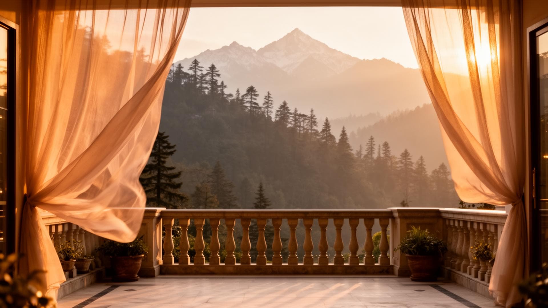
What is the Galyat and what is in Ayubia National Park?
The Galyat is the 60km mountain ridge chain extending northeast from Bhurban through Ghora Gali, Changla Gali, Ayubia, and Nathia Gali. Elevations: 7,000-8,700 feet. Ayubia National Park (established 1984) covers 3,312 hectares of sub-Himalayan forest between Ayubia and Nathia Gali. The Park's centrepiece attraction is the Pipeline Track — an 8km contour walk through deodar cedar, oak, and pine forest. From Himalaya Villas in Bhurban: the Galyat and Ayubia are 30km and 40 minutes away — the natural day-trip destination for cedar estate guests.
Galyat and Ayubia National Park — The Complete Visitor Guide
The Galyat hills region is the underappreciated extension of the Murree hills tourism area. While Murree Mall Road draws millions annually, the Galyat — with its higher elevation, quieter roads, and the Pakistan's finest accessible forest trail — draws a more discerning visitor who specifically seeks the forest walk over the bazaar crowd.

The Galyat Chain — Town by Town
The Ayubia Pipeline Track — Pakistan's Finest Accessible Forest Walk
The Pipeline Track is an 8km contour walking trail following an old British-era water pipeline route from Ayubia to Nathia Gali (or reverse). The trail maintains a relatively constant elevation (~8,000 feet) through the forest, making it a sustained canopy-level walk rather than a climb. Characteristics:
Distance: 8km one-way | Time: 2.5-3.5 hours walking | Fitness: moderate | Elevation change: approximately 200m total
Forest type: the track passes through the finest mixed deodar cedar, Himalayan oak, and blue pine forest in the Galyat — the canopy is continuous and the forest floor develops full understorey in spring
October: the amber deciduous canopy (oak and wild cherry mixed with the evergreen cedar and pine) creates the specific colour the Pipeline Track is famous for in its peak week
April: rhododendron flowers on the forest understorey — the most spectacular wildflower display accessible from Islamabad
Logistics from Bhurban: drive to Ayubia (40 min), walk to Nathia Gali (2.5-3.5 hours), arrange pickup or take a local taxi back to Ayubia / return walk
FAQs About Ayubia National Park
Is Ayubia National Park free to enter?
There is a small entry fee for Ayubia National Park (approximately PKR 200-300 per person — confirm the current rate at the gate). The Pipeline Track within the park is the main paid activity.
Can I walk the Pipeline Track alone?
Yes — the Pipeline Track is well-used, clearly defined, and does not require a guide for fit hikers. Mobile coverage is intermittent. Tell someone your planned timing and direction before starting. Carry water (no reliable water sources on the track) and a snack.
Book Bhurban as Your Galyat Day-Trip Base
WhatsApp +92 304 567 9000
Direct bookings receive the best available rate.
WhatsApp: +92 304 567 9000Direct bookings receive priority response and best available rate.